
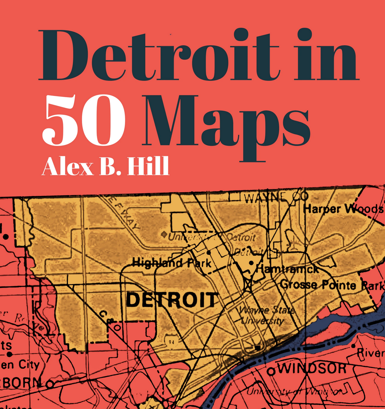
In professional and community circles, Detroit can sometimes feel like a small town. I started hearing about Alex B. Hill and his site, Detroitography, early in my nonprofit work. It seemed like any time the subject of local geography or location came up, people just knew to check with Alex. For nearly 10 years, Alex and a group of collaborators have been aggregating and creating maps of Detroit, intended to be approachable for a broad audience. The initial goals of the site were to improve access to–and awareness of–map resources, and to establish a digital archive for use in understanding Detroit’s history and its related narratives. This effort now includes workshops, events, and a book—in 2021, Alex published Detroit in 50 Maps.
If you know anything about folks from the Mitten State, you know we default to identifying places by pointing to our hands. (I was delighted to learn, as seen in Alex’s book below, that there is a Hand Map for Detroit!) Detroit in 50 Maps offers a little something for everyone–whether you are a Detroiter, a fan of the Motor City, or a map lover. In fact, much of the book’s content resulted from engagement with city residents and organizations working to change what was happening in their communities. Alex wrote this book for them, too.

When Alex and I spoke about the book recently, he told me that, while he didn’t intend it as bedtime reading, Alex was surprised by one set of readers who told him about their ritual of reading one map together each night before bed. He was struck by the magic of maps to illuminate and clarify things for readers that they’d heard about or known all their lives. People who Alex had worked with for years shared new realizations about issues like internet access or poverty rates or access to vehicles–”aha” moments that his maps inspired in ways that the data alone did not.
Alex shared that he has always loved maps, but in his role as a Detroit community health worker he realized that maps were how you came to better understand a city. His training as an anthropologist and later work as an epidemiologist provided an interesting complement of opportunities to use and talk about data and information. In his role at the health department, when his focus was on chronic disease and injury prevention, Alex began to realize that chronic disease was not the most pressing issue for families who were worried about food access and why the buses didn’t show up when they were supposed to. Engaging every day with Detroit families via home-based programs grounded his insights in real life.
There are a range of narratives about Detroit, and many of them are bleak. What delights me about this book is how its various contextual lenses reveal the power of resilience.
“Detroiters have endured. They have made their own food systems, built their own cooperatives, established numerous businesses and entrepreneurship incubators, and made a way out of no way. Resilience is an understatement in Detroit.”
Alex has heard from readers that have picked up on this positivity, too. For example, they may have heard that Detroit wasn’t well served by national retail chains, so they’re surprised to learn about the prevalence of community coffee shops, driven by residents’ desire for local meeting space. National media has given a lot of attention to Detroit as a food desert, but Alex’s book highlights an active landscape of independent grocery stores and community gardens. While many independent grocers struggle to stay in business, he shared the story of a group of Southwest Detroit residents who were relieved when their local grocery store closed. Ultimately, they “were glad to be a food desert” over dealing with a racist store owner who had treated them horribly. This same community resides in the most polluted zip code in Michigan, but were committed to finding a way to build a community garden.

Maps are a critical tool for raising awareness and teaching data literacy. Alex recounted an experience teaching a workshop to elementary students at The James and Grace Lee Boggs School. The topic was Introduction to Understanding Data and, using an outline map of Detroit, he asked the students to put a pushpin on their home so they could see where all their classmates lived. One of the students reacted to this map by saying, “That’s not Detroit.” She had never seen a map of the city before and “her” Detroit–her experience of the city–was not much larger than her block. One of my favorite maps in the book, “100 Detroits,” perfectly illustrates this point by merging and overlaying the first 100 Google images that result from a search for “map of Detroit.” Your map depends on your mindset.


Interestingly, unlike other cities I’ve lived in, the boundaries of Detroit neighborhoods are hotly contested. This divisiveness is often driven by racial segregation. While Chicago’s neighborhoods are codified in the city charter, Detroit’s neighborhoods have been redefined over time–what Alex aptly refers to as “(dis)agreement lines.” Instead of identifying themselves by the name of their neighborhood, Detroiters will sometimes reference the cross streets they live near. Some sections of the city have multiple names, depending on who you ask, like the area referred to as “Cass Corridor” and/or “Midtown.” During interviews about what the area should be named, Alex asked a resident what they called the location, to which the individual replied that it didn’t matter because, “[White people] call it Midtown.” Mapmakers must consider their power and their responsibility to the communities they map.
The book’s endpapers contain some of Alex’s hand sketching. He told me that hand sketching is common practice in mapping; historically, many maps were hand drawn and copied via tracing. Detroitography features a varied collection of hand drawn maps of Detroit. Interestingly, professionally, Alex has had to live in the business intelligence (BI) space. As such, he sketches every dashboard before he makes it. I was surprised to hear this from a BI practitioner. I’d assumed sketching was more common to dataviz designers. But, Alex considers sketching a critical practice to conceptualization. He also teaches “Introduction to Data Visualization” at the College for Creative Studies. Here, he prioritizes a data literacy foundation, regardless of the design tool of choice, of which sketching is a component. Most of the students are in the Masters of Fine Arts program and don’t come from a graphic design or programming background, but they can sketch. Alex himself is not proficient in coding; he used Photoshop to create the “100 Maps of Detroit.”


“I have a stack of my attempts to draw Detroit over the years because you’ll be in a meeting and you want to say, ‘I know that there’s data here,’ and draw it up quickly. That’s how I came up with these four basic geometric shapes for how to draw Detroit [in the endpapers].”
While only one of numerous forms of data visualization, I’m drawn to mapping for its ability to communicate multiplicity of place, identity, and perspective. By now you’ve probably gathered that I highly recommend Detroit in 50 Maps. Obviously, I’m biased ? As Ben Strak reminds us in his newsletter, Design Lobster, we need to be mindful of whose reality we’re mapping. And, on the other end of the spectrum, I’ve been considering the question, “Is a single map enough exploration for an entire lifetime?” Considering the diversity of perspectives in his book, Alex B. Hill suggests that there’s more than one lifetime’s worth of exploration available in Detroit.
You can buy your own copy from Belt Publishing or, from one of my favorite Detroit bookstores, Pages Bookshop.

For 20 years, Mary Aviles has stewarded projects driving strategy and content, human experience, concept development, and systems change. A graduate of the University of Michigan, her work has spanned the business-to-business, health care, and nonprofit sectors. Mary is a mixed-method UX researcher at Detroit Labs and the managing editor of Nightingale. She writes about dataviz in real life (IRL) in an effort to help practitioners and "non-data" people enjoy better understanding and experiences in their shared ecosystems.
- Mary Aviles

- Mary Aviles

- Mary Aviles

- Mary Aviles


